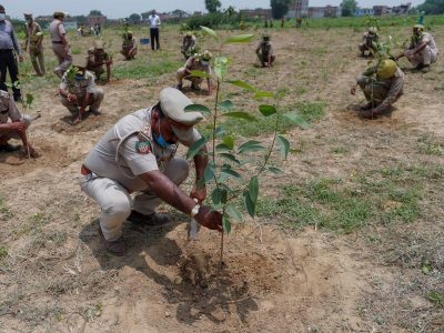
80% of marine pollution comes from waste that is dumped in rivers. To curb this problem at source, the NGO Surfrider Foundation Europe has created an application to map the pollution, eliminate it and raise public awareness of this phenomenon.
Plastic Origins is a project initiated by Surfrider Europe. Supported by citizens, associations, scientists and responsible companies, its aim is to stop ocean pollution at its source. The way? To tackle the problem inland: 80% of its pollution comes from rivers. Based on the observation that it is impossible to clean up the Ocean in the long term and that when it is polluted it is already too late, Surfrider Europe’s ambition is to stem the phenomenon by intervening at the source, by knowing the distribution of this contamination. This mapping will make it possible to target the areas to be treated as a priority in order to act effectively and to evaluate the impact of the measures that have already been implemented. The association will use the mass of accumulated data to put pressure on those responsible and elected officials, to both eliminate the spills in nature and demand repairs.
The initiative is based on the following observation
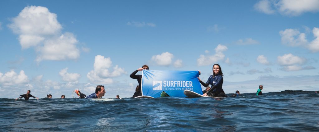
Surfrider Europe was created in 1990 by a group of surfing enthusiasts who realized that surfing spots were becoming increasingly polluted and who wanted to take action, to change things and preserve the seas and oceans. Although progress has been made in 30 years, the initial observation has unfortunately not changed: nature continues to deteriorate. With the launch of Plastic Origins, the association is going back to what prompted its action and has decided to tackle the problem by stemming waste pollution, before it even reaches the ocean.
How does it work?
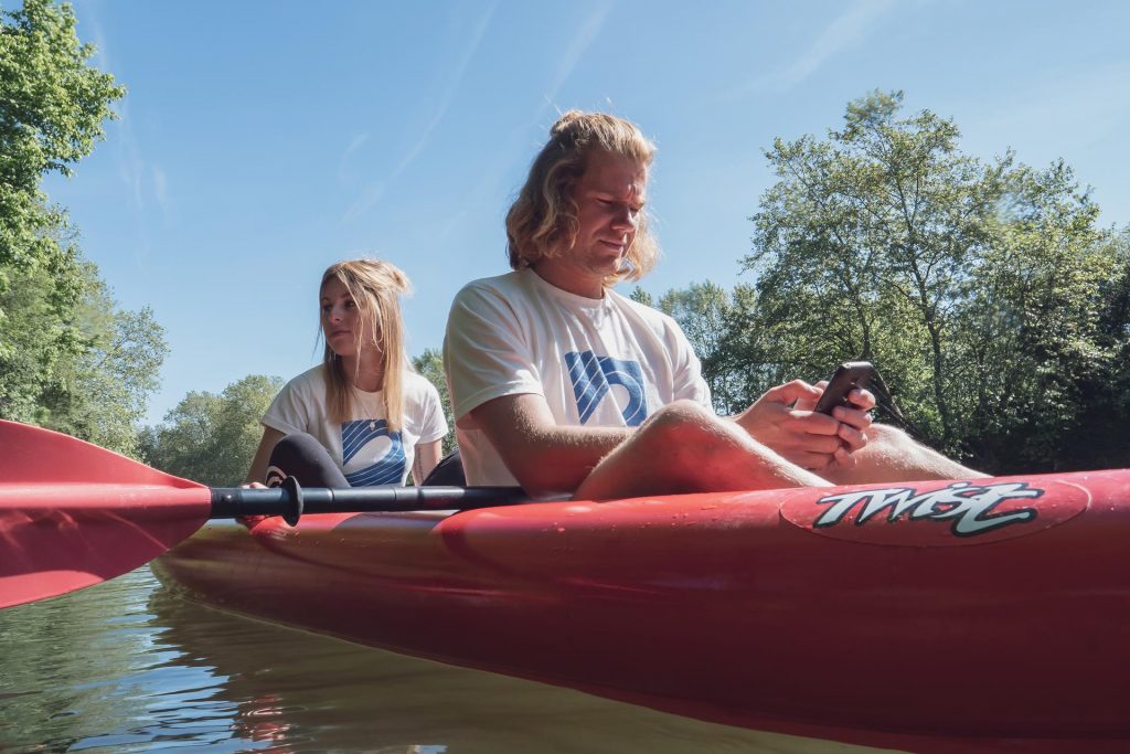
Thanks to nature lovers and volunteers across Europe, data is collected via the Plastic Origins app (available on Android and iOS). The first possibility is to film the shoreline via the app. The artificial intelligence algorithm then analyzes the video and automatically detects visible waste, which it counts, geolocates and classifies according to its type (bottle, fragment, etc.). The second option is to manually report and classify waste encountered during a walk or kayak trip. All the data collected is then available online on the site and accessible to all. In the long term, the aim of this project is to obtain a map showing the level of pollution of all the rivers in Europe.
#pollution, #oceans, #rivers, #PlasticOrigin, #SurfriderEurope, #ecology,